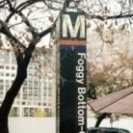
![]() Congress Heights
Congress Heights 
View Metro Map
1290 Alabama Ave SE, Washington, DC 20020.
Metro Line: Green Line.
Metro Schedule: Opens at 5:00 AM (M-F).
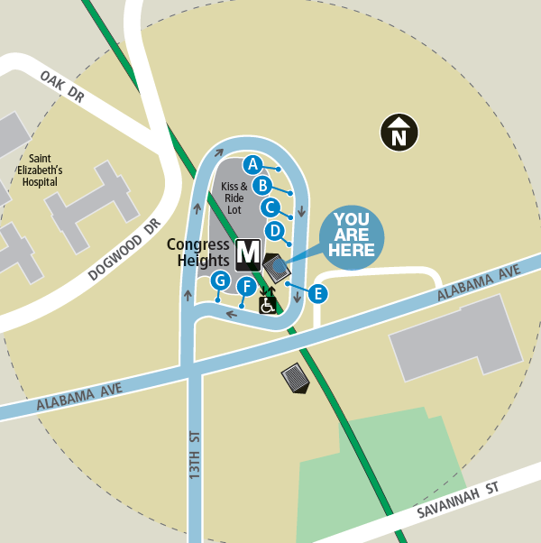
Metro Parking: The station only has a Kiss & Ride Lot with 67 short-term metered spots. Parking is not allowed between 2:00 AM and 8:30AM, and 3:30 PM to 7:30 PM.
Bike Parking: There are 10 bike racks and 12 lockers at this station.
Metro Entrance: The entrance is at Alabama Ave & 13th St SE.
First and Last Trains
First Trains: Trains leave exactly 2 hours later on Saturdays and Sundays.
Green line train from Greenbelt - 5:10 AM
Green line train from Branch Ave - 5:37 AM
Last Trains: Trains leave exactly 3 hours later on Friday and Saturday nights.
Green line train from Greenbelt - 11:37 PM
Green line train from Branch Ave - 12:22 AM
Metro Platform
The Congress Heights Metro Station has 1 island platform and two tracks. The Green Line trains go in two directions named for the last stop on the line.
Green Line: Greenbelt --- Branch Ave
The Green Line goes in two directions: Greenbelt and Branch Ave.
Use the Metro's Trip Planner to find out exactly how to get where you want to go in the Washington DC area, using Metrobus, Metro and local bus systems. The Trip Planner asks you where you're starting and when and where you want to go. Then it finds the best way for you to get there using the Metro system and local bus systems.
Bus Connections
The Congress Heights Metro Station is located near St Elizabeth Hospital and Metrobuses serve the station. The station has seven bus stops labeled A, B, C, D, E, F, G. For up-to-date information on bus routes, check out wmata.com.
Related Information
|
|
Metro |
|
|
|
Metrobus |
|
|
|
Metro Pocket Guide |
|
|
|
Metro Map |
|
 |
DC Circulator |
|