![]() Closest Metro Stops:
Closest Metro Stops:
Woodley Park-Zoo/Adams Morgan
Columbia Heights
Dupont Circle
Street/African-American Civil War Memorial/Cardozo
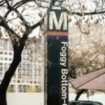
Although the Woodley Park/Zoo/Adams Morgan station has the name of Adams Morgan, it is a 15-minute walk over the Duke Ellington Bridge or a short bus to the heart of neighborhood.
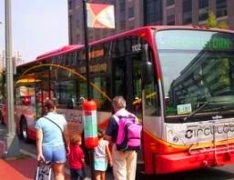
The maps shown below provide directions to Adams Morgan from each of the 4 metro stations around the neighborhood. Each map displays walking directions which include taking the Metrobus 96 (when available).
Woodley Park-Zoo/Adams Morgan Station
From top of the escalator:
Walk: (14 min) Head south on Connecticut Ave NW toward Calvert St NW. Turn left on Calvert St. Continue onto Adams Mill Rd NW. Continue onto 18th Street NW.
Columbia Heights Station
From exit on west side of 14th Street:
Walk: (16 min) Head west on Irving St NW toward 14th Street NW. Turn left at 14th Street NW. Turn right at Columbia Rd NW. Turn left at 18th Street NW.
Dupont Circle Station
From the Q Street exit:
Walk: (18 min) Head south on Massachusetts Ave NW. At the traffic circle, take the 3rd exit onto New Hampshire Ave NW. Slight left at 18th Street NW.
U Street/African-American Civil War Memorial/Cardozo Station
From the 13th Street NW and U Street NW exit:
Walk: (21 min) Straight on U Street to 18th Street NW.